What a national park protects
A national park is a protected area established to conserve natural and cultural values. Its purpose and management depend on the country and site. Some areas prioritize large, relatively intact landscapes. Others protect distinctive coast, forest, wetland or mountain systems. Boundaries do not mean that every activity is permitted everywhere. Access rights, local regulations, seasonal closures and safety notices still matter.
Use official park and local authority information when planning. Check where paths, marked routes, shelters, visitor facilities and restricted zones are located. A general guide can explain landscape types, but it cannot replace the current rules for a specific place. Confirm details close to departure, especially when travelling across national borders.
Read the landscape before choosing a route
Forests provide shelter from wind, but ground conditions can still be wet, uneven or difficult to navigate. Dense tree cover affects visibility and may make landmarks less obvious. A forest walk can suit a short outing, but distance alone does not describe effort. Mud, roots, boggy patches and repeated rises can slow progress.
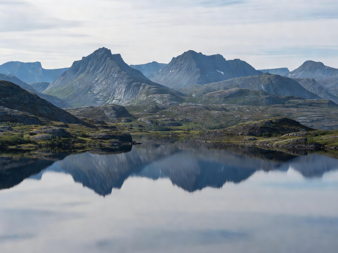
Mountain environments expose hikers to wind, rain, low cloud and rapid temperature changes. Routes can cross rock, scree, snow patches or steep slopes. Marked paths may become less clear in poor visibility. A high viewpoint is not automatically a suitable objective for every group. Assess ascent, descent, exposure and options to turn back.
Wetlands and open plateaus require careful footing. Water levels, soft ground and seasonal conditions can change which lines are passable. Boardwalks may protect fragile ground where provided; stay on established routes. Lakes and rivers shape travel and navigation, but water edges can be cold, slippery or exposed. Do not assume a crossing is safe because it appears shallow.
Coastlines combine cliffs, islands, beaches, tidal or wave exposure and changing weather. A route that looks simple on a map may include rough rock, wet surfaces or limited exit options. Check local information about access, tides where relevant, boat connections and protected bird areas. Tundra-like environments are open and often feel close to the weather. Their vegetation can be slow to recover from disturbance.
Regional differences
Scandinavia is not one uniform landscape. Southern and central forest regions differ from northern mountain areas and coastal environments. Elevation, latitude, distance from the sea and local geography influence vegetation, daylight and conditions. A route with shelter and clear trail markers in one region may have long exposed sections elsewhere. A familiar season label does not guarantee matching ground conditions.
Even neighboring protected areas may have different access arrangements. Facilities, marked trails, road approaches and seasonal services are not consistent across the region. Treat each park as its own planning unit. Identify the official source for the place you intend to visit. Save essential route information offline if coverage may be limited, and carry a map that remains usable without a phone signal.
Practical planning
Start with the group, not the destination. Match expected distance, elevation, surface and exposure to the least experienced member. Build in time for breaks, navigation checks and a slower return. Choose a route with a sensible turnaround point. Tell someone your plan and expected return time for remote outings. Carry suitable clothing, water, food, navigation tools and a way to respond to an emergency.
Check forecast information from a suitable local source. Weather in upland terrain can differ from conditions at a nearby settlement. Look for warnings, wind, precipitation, temperature and visibility. Review daylight hours and allow a margin for delays. Confirm road, ferry or public transport access before travelling. If conditions exceed your preparation or the group’s ability, change the plan.
Compare park environments
Good for
Park visits suit people who want to experience protected landscapes at a considered pace. Forest paths can work for short walks; exposed mountain routes call for stronger navigation and weather judgment. Coastal and wetland routes suit visitors prepared to follow local access guidance. Select by terrain, not by image alone.
What to know
- There is no single rule set for every Scandinavian protected area.
- Trail markings, services and access can vary. Check current local information.
- Fragile ground and wildlife need space. Use established routes and follow restrictions.
- Carry a map, suitable layers, water and a realistic exit plan.